


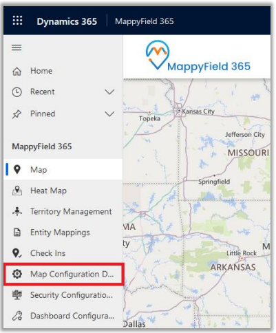
On assignment of any role like AppJetty MappyField 365 Admin, AppJetty MappyField 365 User, or System Administrator role, configuration settings record must be created. This can be accessed by navigating to Map Configuration.
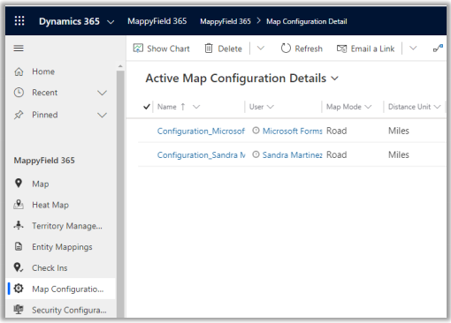
On navigating to MappyField 365 Configuration, it would show a list of all the users with MappyField 365 role or System Administrator.
Following are the configurations:
- Map Mode: The user can select the default map mode. It can be road or aerial mode.
- Zoom Level: The user can set a default zoom level for the map. It can also be managed based on settings made from the contextual menu.
- Plot Data: Default plotting of data can be defined. Either it can be in cluster or non-cluster format.
Note: These configurations are default user-based configurations that will be set as default when the map is loaded.
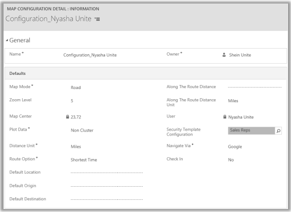
- Distance Unit: Default option for distance measuring. Either miles or kilometers.
- Route Options: You can define the best way to determine a route from this feature.
- Default Location: The user can define the default location using this option.
- Default Origin: The user can define the default origin using this option. It can also be managed based on settings made from the contextual menu.
- Default Destination: The user can define the default destination using this option. It can also be managed based on settings made from the contextual menu.
- Along with the route distance: Define the radius along with the route search.
- Along with the route distance unit: Define the default unit for along the route search.
- Security Template Configuration: Define the default ‘Security Template’ for the user if required.
Note: Here the list of the Templates will appear as per the Security Template Configurations.
- Navigate via: Select navigate to check the routes by using Google Maps, Waze Map, or Apple Maps.
- Check-In: Enable or disable the ‘Check In’ module. If you enable the Check-In, Check-In Radius (KM), the option will get enabled.
- Check-in Radius: Define Geo Radius that can be allowed to perform any check-in.